Note: This is part 1 of a series on my long-distance hiking trip in 2021 and what I learned from it.
Hi, I’m Andy, a former Skinny Skis employee. In 2021, I attempted a southbound hike of the 2,650 mile Pacific Crest Trail. Trips that long don’t always go as planned. I was able to hike the PCT in Washington and Oregon before being stopped by wildfires. Then I traveled to northwest Oregon to hike the Oregon Coast Trail.
In this series of posts, I’ll share the story of my trip, some things I learned, and some advice for those attempting a similar trip. Distilling an experience like this into a readable account isn’t easy, and I hope I’ve succeeded in keeping these posts relatively short and interesting. I also hope they get readers stoked about backpacking season.
Getting to the PCT
I flew to Seattle in mid-June 2021, and three days later was in a van shuttle to Mazama, Washington. A lot of snow at the starting point of Harts Pass meant that hiking 30 miles north to the Canadian border would be delayed.
A short hike north to check snow levels (4 days, I knew we had some time to burn), and a week at lower elevations waiting for a heat wave to pass were features of the first part of the trip. Grabbing a book from a Little Free Library and sitting by a cold river is one way to pass time when it’s over 100 degrees for several days in a row.
Washington on the PCT – SOBO
When it was finally go-time, I caught a ride to Harts Pass from Mazama with a few other thru-hikers to be. Excited to finally be on the adventure, we all headed north toward the Canadian border.

On the morning of the third day, I hiked downhill toward northern terminus in a very northwestern fog. Hoping to have a moment at the PCT monument alone, left early and kept a decent pace. At the monument was a party, however, and I spent about 45 minutes there with about a dozen other hikers. These folks would be neighbors on the trail for the next two months.
Hiking back south now, I smelled smoke the second morning. There had been some stormy looking clouds the night before, and I knew that if there was a fire starting, I wanted to be south of it. Pulling a long day, I got back to Harts Pass, and stayed at the campground there. Mosquitoes were thick that night, and I got up the next morning ready to see new trail. Everything so far I’d now seen 2 to 4 times. Rumors of a bridge out in North Cascades National Park turned out to be good news; the bridge was replaced the day before, so no alternates necessary to get to Stehekin, the first resupply and ‘town’ on the trail.
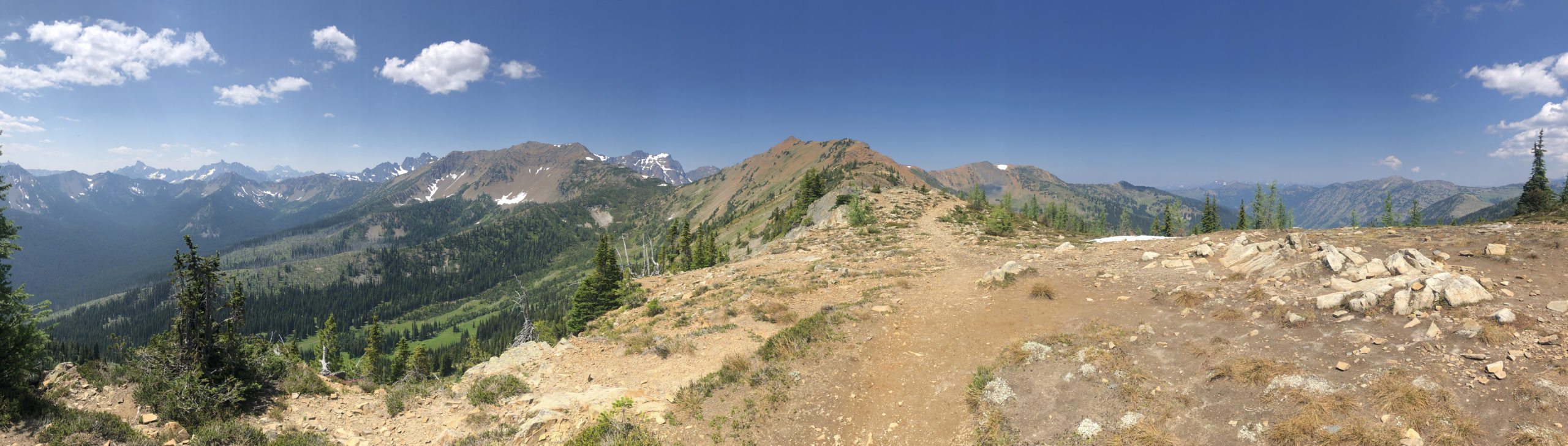
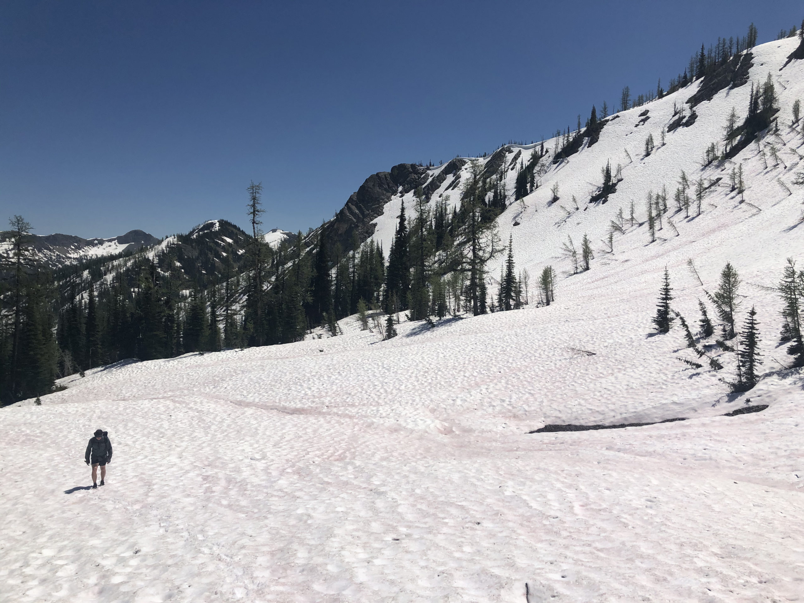
The stretch south of Harts Pass is stunning. High mountainside hiking with endless views, plenty of water, and wildlife. A few highlights were Cutthroat Pass, seeing a lynx, and distant views of Glacier Peak. A few days of wonderfully wild and scenic hiking saw me crossing the highway at Rainy Pass and into North Cascades.

The morning after crossing into the park, I started hiking and noticed pain in my shin and ankle, which worried me. An injury about a week into a possibly 5 month long trip is easy to worry about, especially when you walk all day and every step hurts. Taking a shorter day, and stopping often to cool my lower legs in ice cold river water, I stopped at a PCT friendly site within the park, and rested for the afternoon. Up early the next morning to catch the first bus into Stehekin, I was caught by more SOBO hikers, some I’d met before, some new.
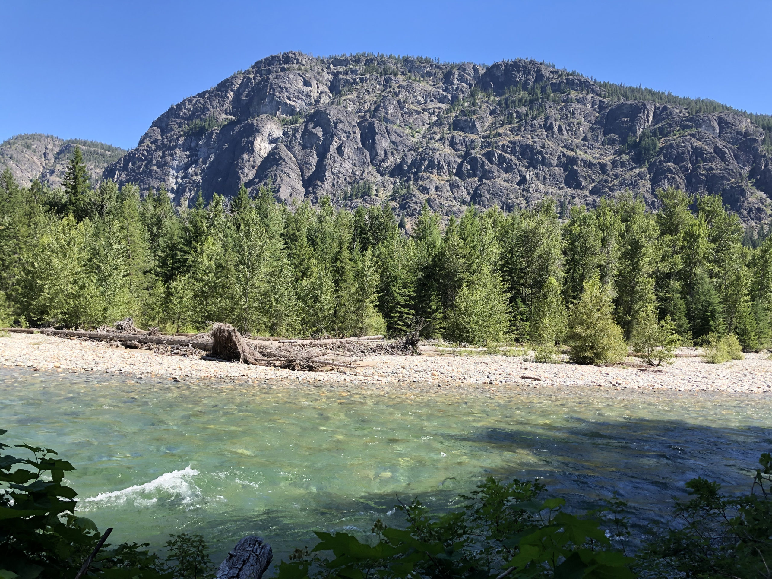
Stehekin is an 11 mile bus ride from the edge of wilderness. On the way, there is a legendary bakery, and the bus stops every time it goes by. Stehekin is a park service ‘town’ at the end of 40 mile long Lake Chelan.
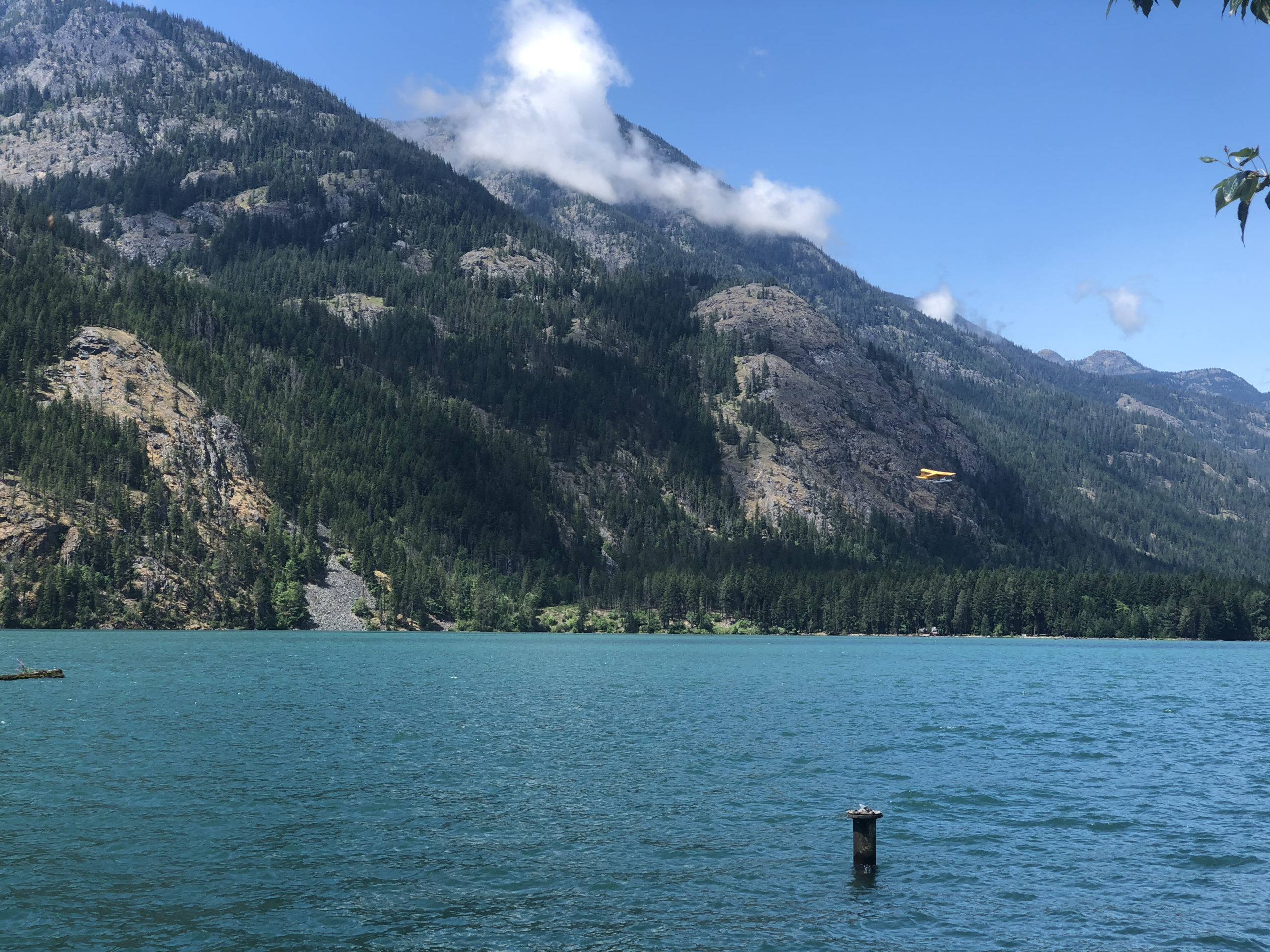
The only way there is by boat or float plane, or hiking. Upon arrival, I got a campsite, took a shower, did laundry, picked up my food box from the post office, and bought some beer.
Talking with other hikers, I mentioned my shin and ankle pain. Shin splints probably, one said. I’d heard of that, but never had them before. Mentioning I was worried about it affecting my hike, one guy gave some advice and said that if I took care of it, it wouldn’t end my hike. Back to the little general store, where I bought the last roll of KT tape, and walked down to the lake to soak my feet.
I ended up taking full two days off with plenty of food, rest, and swimming in Lake Chelan. On the morning of the fourth day there, I caught the bus back to the trail.

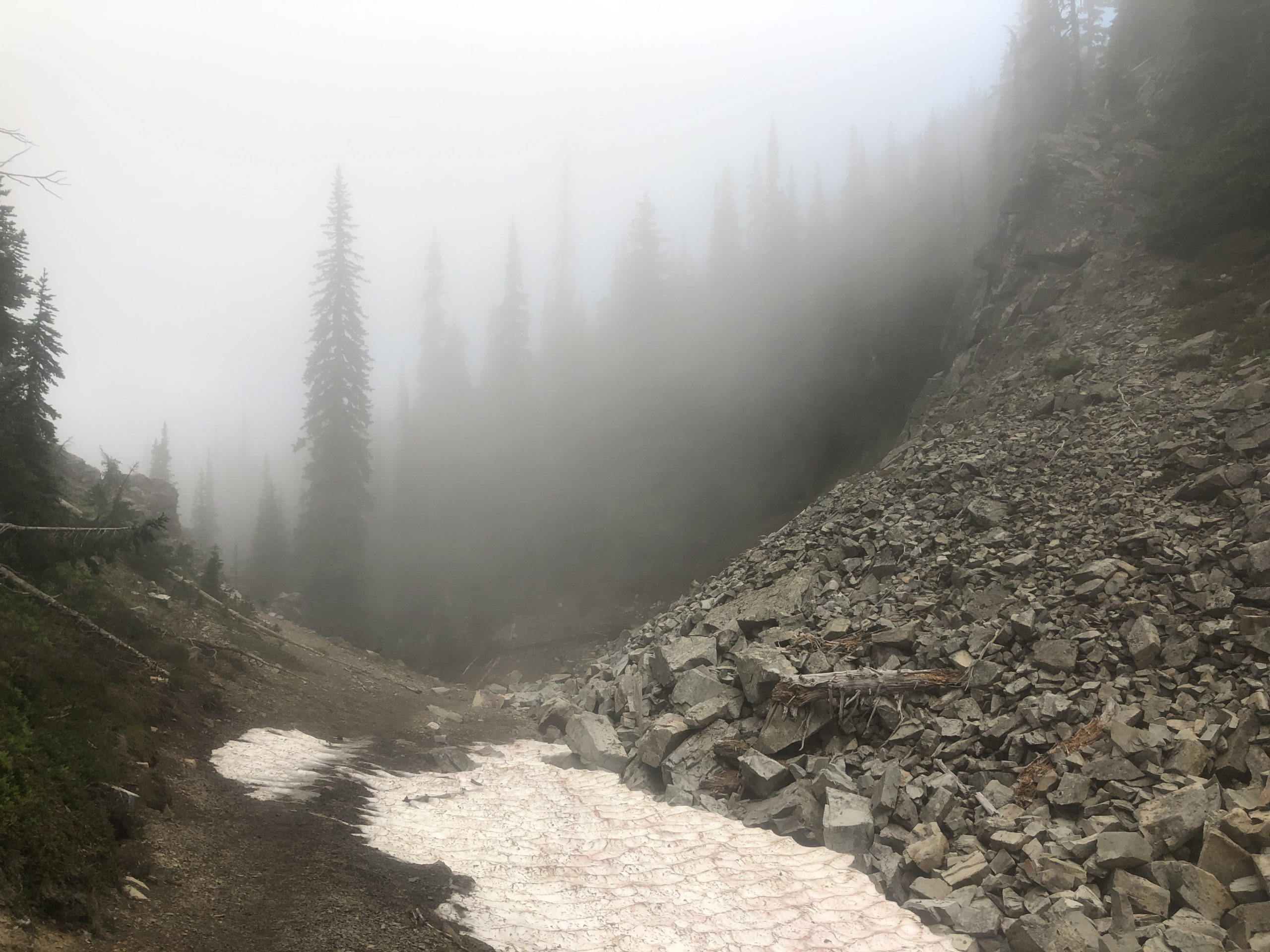
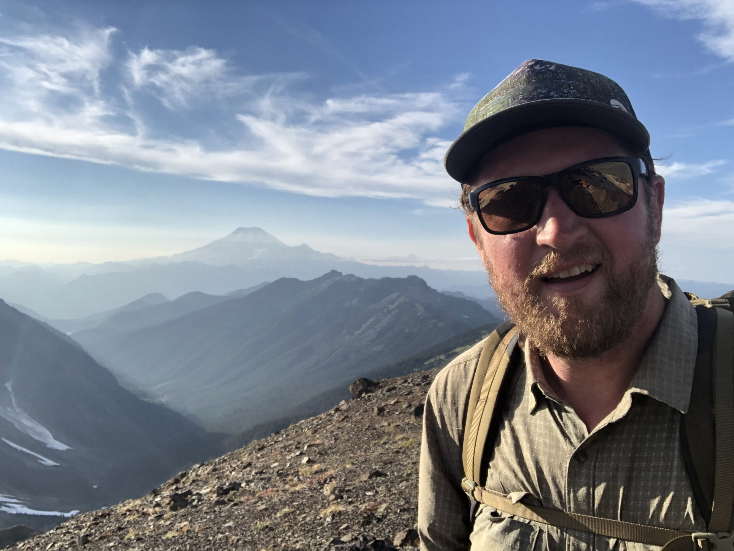
This next section of trail is long and remote, through the Glacier Peak Wilderness. Old growth forest, many miles of wilderness, a glaciated volcano; it’s some of the most difficult hiking on the PCT in Washington. I hiked most of this ~110 mile section with two other hikers. Good conversation at camp every night was a highlight, as was having folks near by for some of the more risky parts of my trip. Snow travel and stream crossings are part of the PCT experience, and prior experience (especially knowing how to use an ice axe) are recommended. It’s a long way to the hospital.
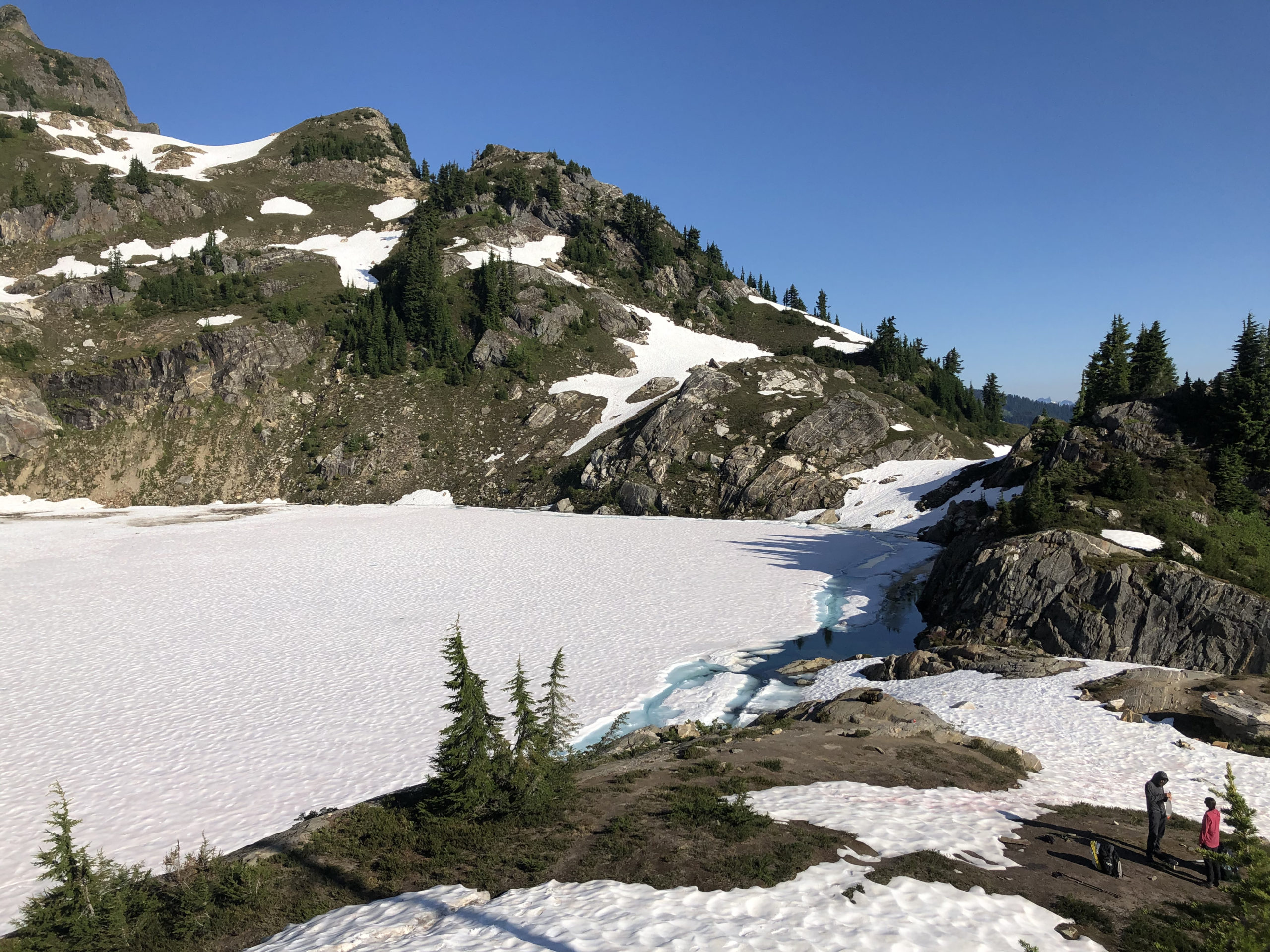
I learned later that a hiker did fall through here on snow with a running stream underneath, and was helicoptered out. This happened a day or two after we passed through here, I think. Going through that section, I saw that snow bridge and wanted to avoid it. We climbed off the snow above it and jumped across the stream on rocks. It was right at the outlet of Mica Lake; still frozen.
From here it was across the flanks of Glacier Peak and south to Stevens Pass, the second resupply. I came out at the highway and got a ride down to the town of Skykomish.
Regular cold foot soaks, the KT tape and sleeping with my feet elevated were keeping the shin splints from getting worse, and by this point I was feeling pretty good, though tired and hungry. I was pretty skeptical that KT tape on my shin could do anything beneficial, but it seemed to. I kept it with me for the rest of my trip, and used on occasion, but the shin splints did subside.

I got a room for the night, picked up a food box, ate, showered, washed clothes and slept. I mailed my ice axe home the next morning and got back to the trail. Another possibility at Stevens Pass is to go east to Leavenworth to resupply. Folks that went there said it was a good option too.

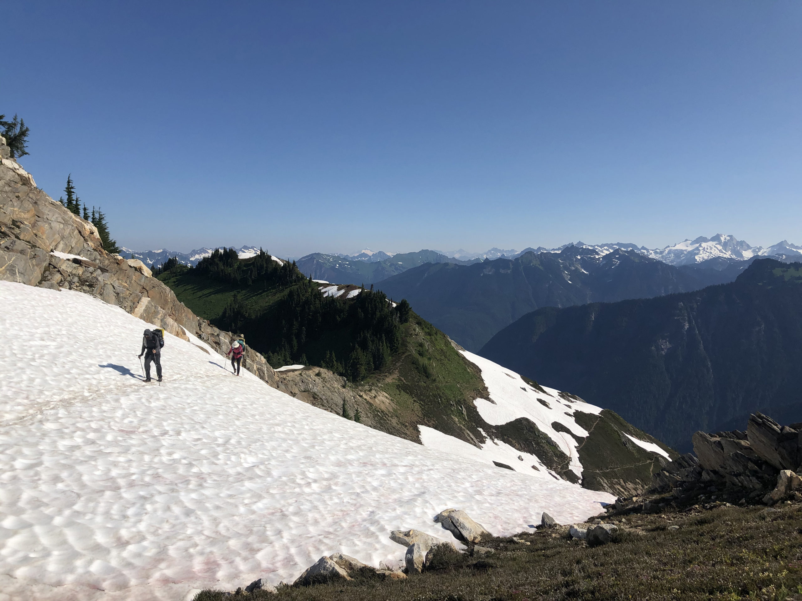
Up next is the Alpine Lakes section; aptly named. This was another standout part of the trip, lots of lakes, mountain views and deep wilderness. If you’d like to try a section of the PCT, this is a good candidate. It’s not easy though, with some very big days of elevation gain and loss.

Hiking in to Snoqualmie Pass four days later, I was again tired, hungry and ready to take a shower. Another town night with a room (these do cost a lot, and I started to stay inside less to save money).
The hotel that accepts resupply boxes is overrun at the height of PCT season. Label yours well! I got another box of food I’d packed before leaving, and a new pair of shoes. These shoes stuck with me until Ashland, Oregon and I was very ready for a new pair when I got there. Check out a later part of this series for more about on-trail management, resupplies, etc.
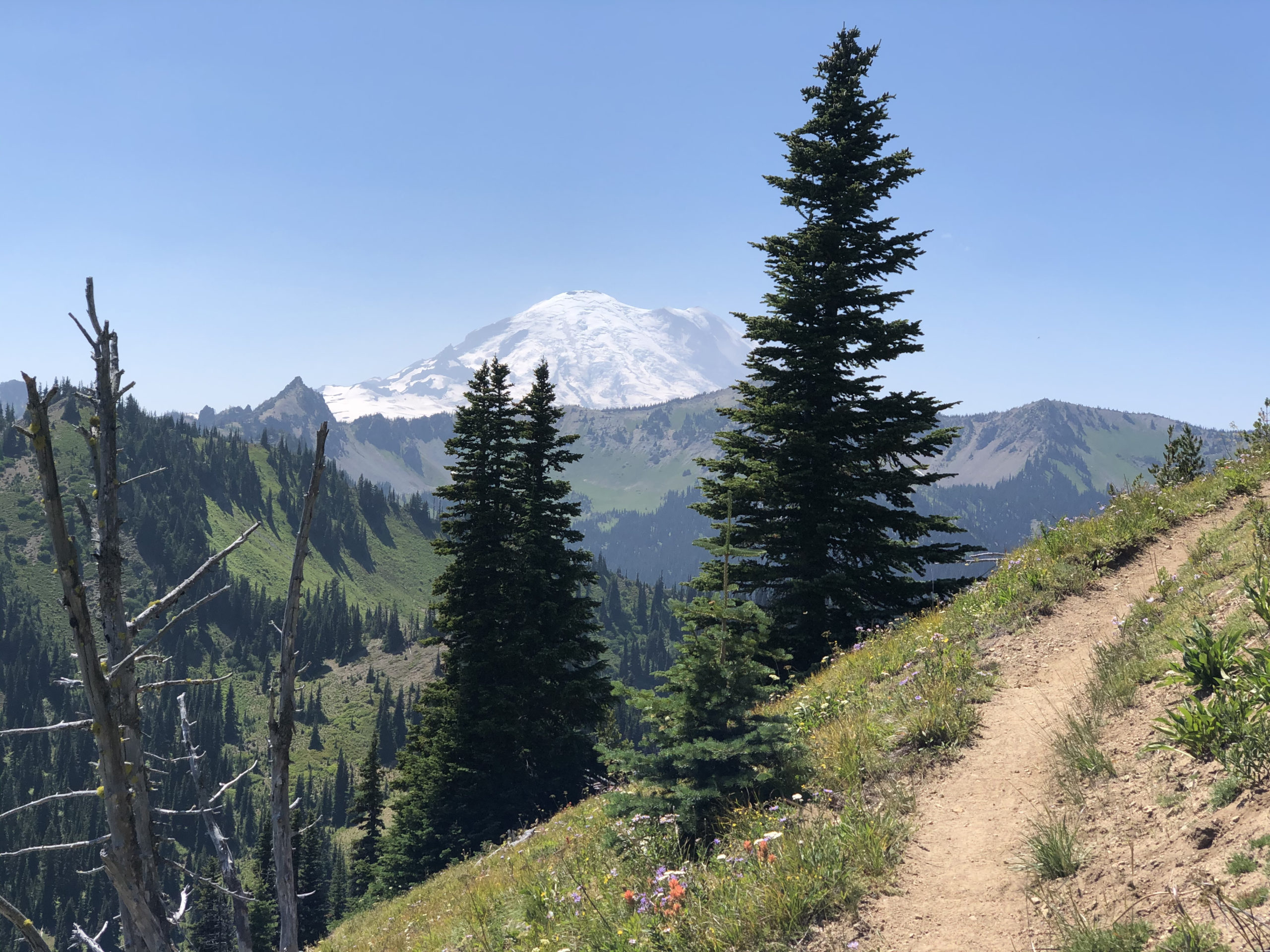
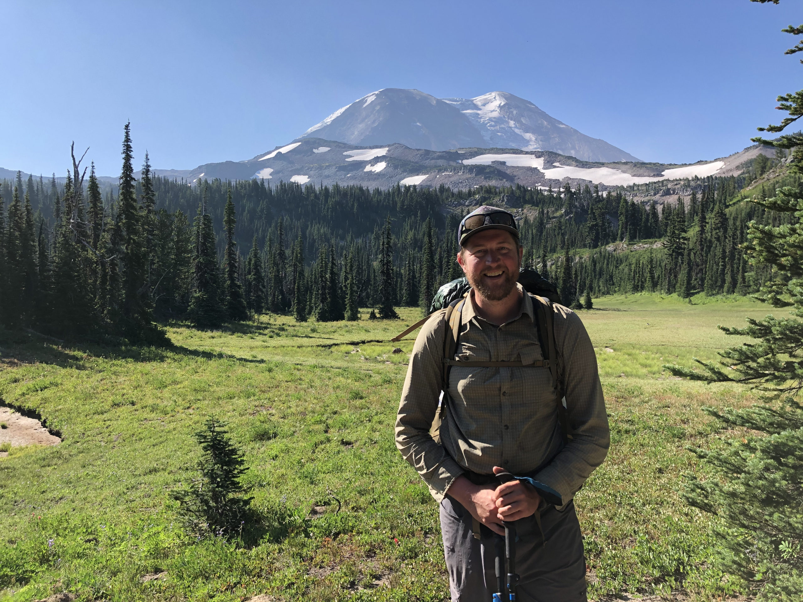
South of here the mosquitoes became almost unbearable. Most days I set up my tent immediately after stopping and got inside. I cooked and ate in my tent to keep the bugs at bay. I don’t recommend that, especially in grizzly country, but it’s pretty commonplace on the PCT. The views of Mount Rainier in central Washington are spectacular. Since I started climbing, Rainier has been one of those mountains I’d like to climb, and this was a great reminder of how imposing it is on the landscape.
On a long trip like this, the days really start to blend together. So much happens that it’s hard to keep it all straight, especially if remembered a few months later. Some hikers keep a journal; but I was just too tired to keep that up regularly after full days of hiking.
White Pass was the next spot to pickup a package and refuel. I got my box from the Kracker Barrel (just a gas station, but pretty good as far as gas stations go), and hung out in the parking lot with a bunch of hikers. We ate, drank beer, and socialized outside, but eventually I got a campsite closer to the trail for a little peace and quiet at night.
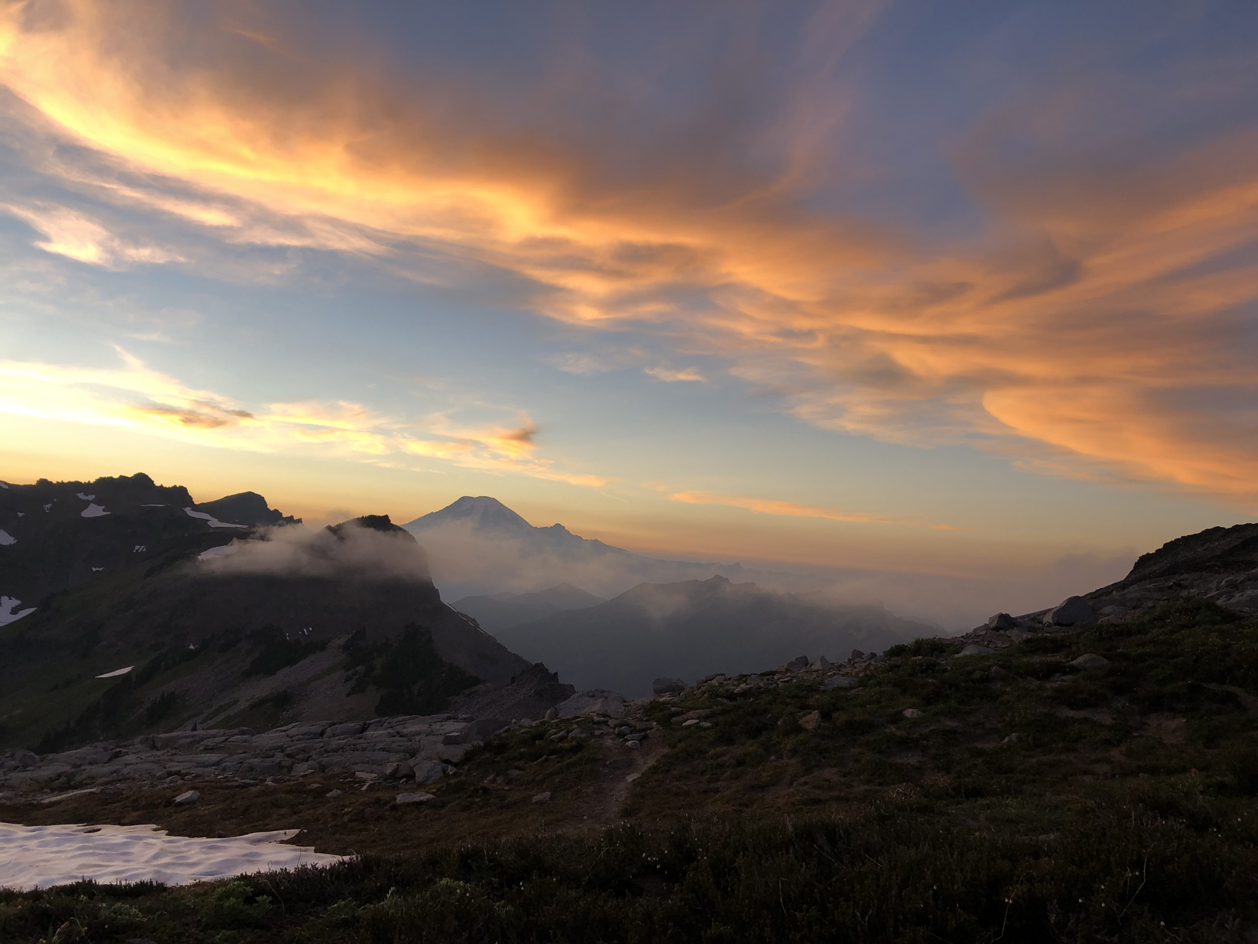
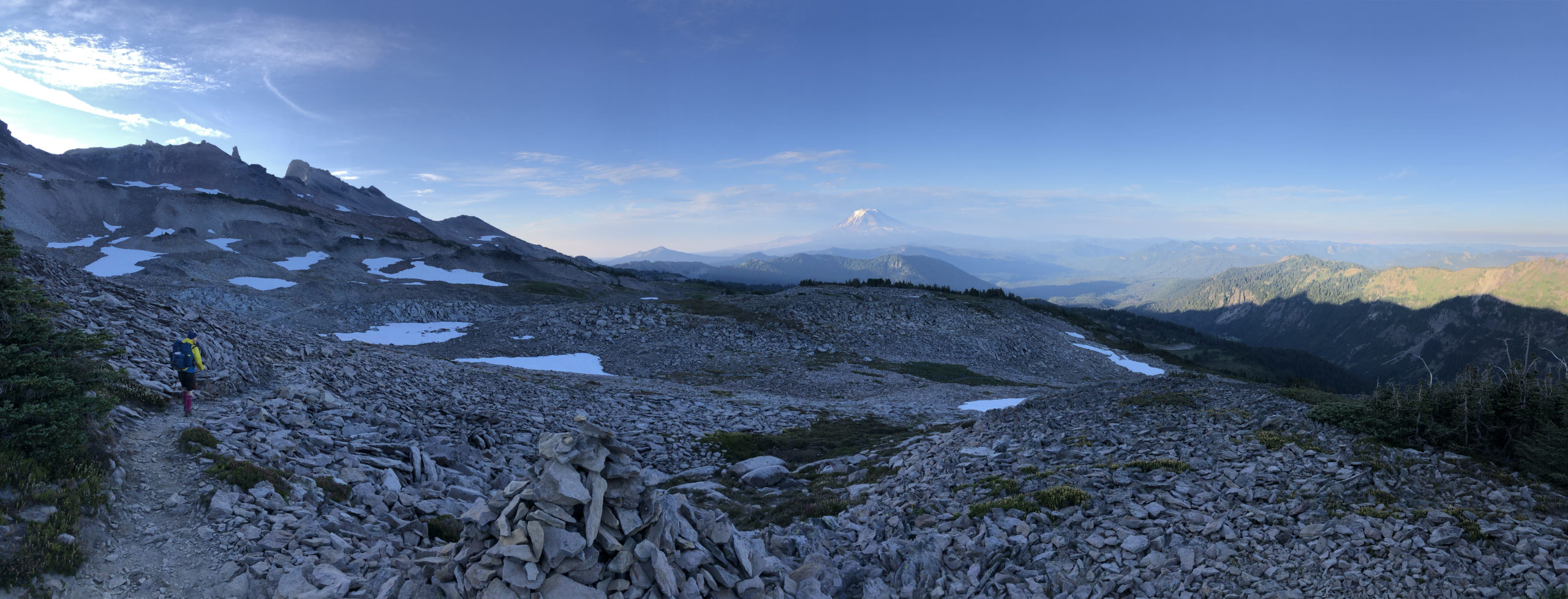
South of White Pass is the Goat Rocks wilderness, many a PCT hiker’s favorite place on the trail. These are stunning miles of trail, and I had to stop many times to take pictures and soak it all in. A great campsite with views of Rainier and Mt. Adams is about 20 miles in. High, windy and awesome.
The mosquitoes weren’t as bad here; it was later in July, and it’s drier here too. Keep an eye on water supplies here, there are a few long carries.
After that it’s a few days around Mt. Adams to Trout Lake, another esteemed trail town.
Trout Lake, Washington is not on trail, but hitching in and out of town is very easy, and the food is great. Cheap camping in town too, with a shower and laundry. Recommended by almost everyone that goes to Trout Lake. The service at the corner restaurant can be slow; it’s busy. But they’re nice, the food is good and it’s a good patio to hang out on for part of the day.
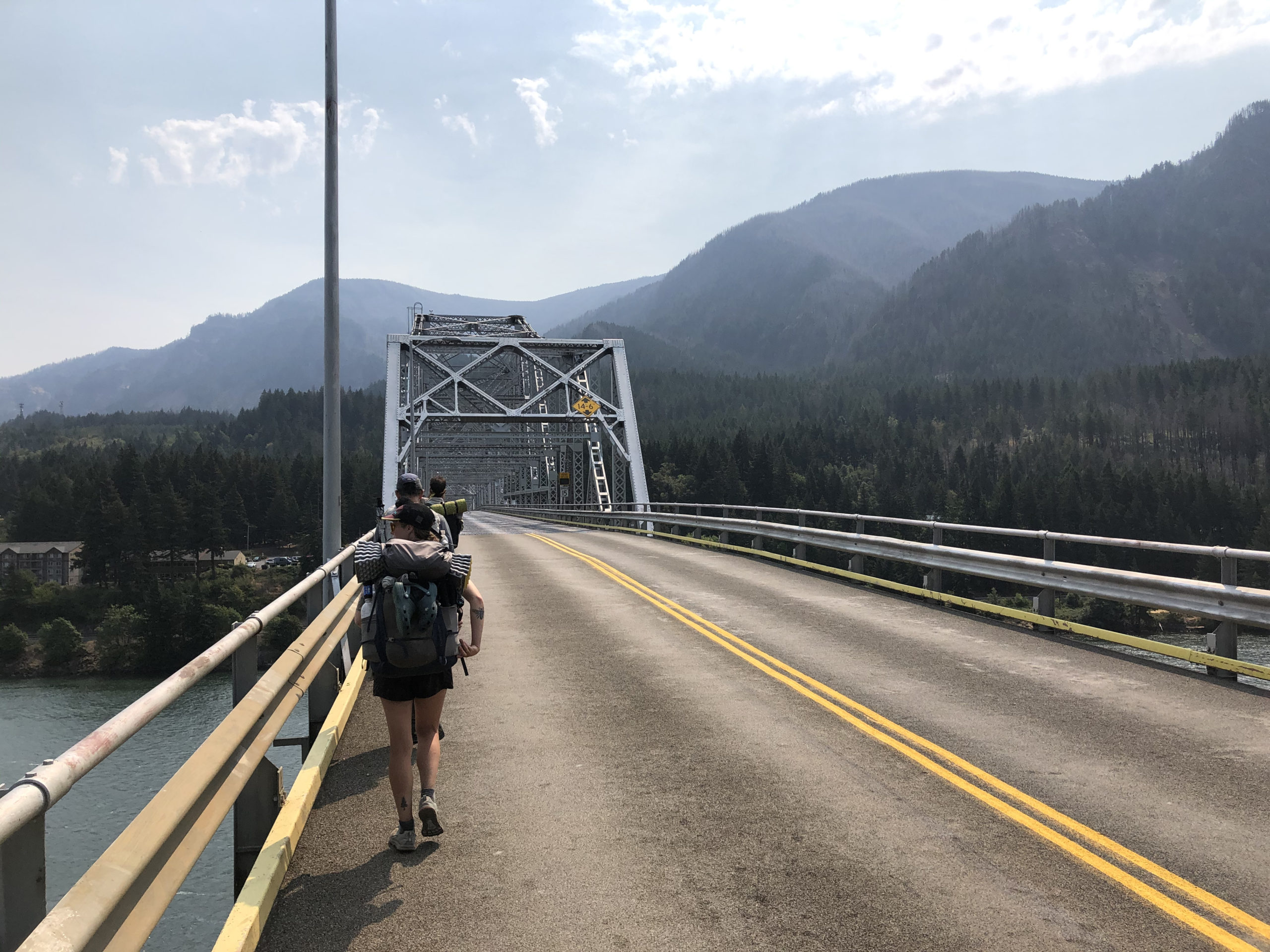
South of Trout Lake isn’t the most spectacular, though there are a lot of berries if one times it right. The significant part here is that it’s the last section before walking across the Bridge of the Gods into Oregon at the town of Cascade Locks.

At the bridge in the morning I ran into a hiker I’d been around since Snoqualmie Pass, now cleaned up, shaven, sitting next to a car with a cooler. He asked if I wanted a beer before crossing the bridge; it took me a second to realize who it was.
It was a little early, but finishing a state is a big milestone. Turns out he had to stop his hike for a family emergency and he was doing a little trail magic for his fellow SOBOs before saying goodbye to the PCT for the time being. Long distance hikes are greatly affected by the people one meets, and it’s hard to part ways with the really good folks.
To be continued in part 2: Oregon x2: PCT and Oregon Coast Trail